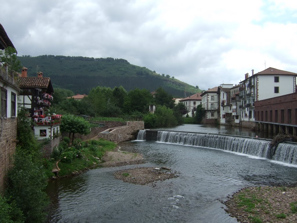
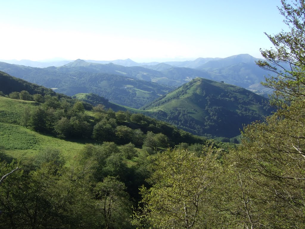
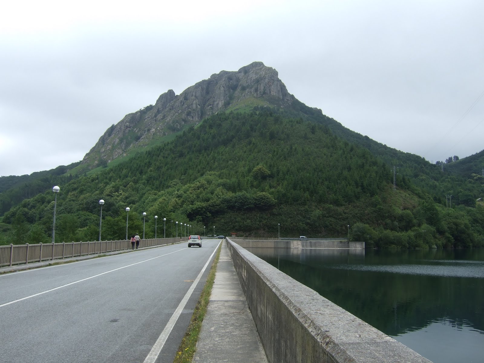
Saturday, July 10, 2010

Day 7 - Respomuso to Baños de Panticosa

35km, 1300 metres of ascent
An awful long way for a shortcut.

Today I tried and failed to get over the Cuello de Tebarrai. I climbed steep hard snow as far as the bergschrund a few metres below the col, but then got freaked out by the prospect of falling or not being able to reverse the situation if I climbed any higher. So I decided to down climb and hike around the mountain, which basically cost me half a day, but I wasn't prepared to take any more chances on the snow when I was on my own, and messing around in running shoes with no ice axe.

I descended all the way to Sallent de Gallego before hiking along past the Lanuza Lake and making my way to Panticosa. From there a steep uphill road leads to Baños de Panticosa in 8km. I had to wild camp just above the village since there were no places at the Refugio Casa de Piedra.

Photos from Day 7

Route map for Day 7

View GR11 - Day 7 in a larger map

Friday, July 9, 2010

Day 6 - Candanchu to Respomuso

34km, 1800 metres of ascent
Today was a slightly easier day where I wandered through Canal Roya valley and past the Anayet lakes to descend to the Formigal ski area. I did however meet 4 Spanish guys who warned me that I would experience problems tomorrow crossing the Cuello de Tebarrai without ice axe and crampons, and they advised me to call in at Formigal to check conditions over the pass. I duly stopped at the Tourist Information in Formigal where they phoned the Refugio, and were told that axe and crampons were essential.

I wasn't sure what to do, so reserved a place at the Refugio de Respomuso and decided to head up to check out the Cuello de Tebarrai at first hand. So that afternoon I walked past the Sarra reservoir and up the increasingly dramatic valley to the Respomuso reservoir and refugio.

I got swarmed and attacked by mosquitoes as soon as I arrived at the hut, so dived straight inside and had a comfortable night and a good evening meal.

Photos from Day 6

Route map for Day 6

View GR11 - Day 6 in a larger map

Thursday, July 8, 2010

Day 5 - Zuriza to Candanchu

35km, 1725 metres of ascent
I'm not sure why, but I found this stage incredibly tough. It was probably a combination of painful feet, inadequate nutrition and scorching heat through the middle of the day.

The early morning climb out of the valley from Zuriza was stunning, with a Dolomites style background provided by the jaggy Sierra d'Alano. And once over the Cuello Petraficha waves upon waves of jaggy mountains were stretching off into the distance.

The descent down to La Mina wasn't too difficult, and I spent half an hour at the river dossing around and having some lunch.

The afternoon however took on a different complexion. It looked all fairly innocuous on the map, but the initial long drag up the pista was in the full mid-day sun, then the hike across the Aguas Tuertas was riddled with ditches and boggy bits that made it quite slow, then the climb up and over past the Ibon d'Estanes was quite rocky and complex, and finally the descent to Candanchu was a bit of a nightmare. To start off with, the French had painted decoy markers in white/red/white just to confuse you and lure you off the GR11, and then when you finally found the GR you realised it went into a massive steep-sided re-entrant with a couple of very tricky stream crossings with no footbridges.

It was quite a relief to come over the brow of the hill and drop down into the Candanchu ski area. Luckily I found the Refugio Valle del Aragon, which turned out to be an excellent place to stay.


More photos from Day 5

Route map for Day 5
View GR11 - Day 5 in a larger map

Wednesday, July 7, 2010

Day 4 - Ochagavia to Zuriza

35km, 2010 metres of ascent
I was up early on a quiet deserted campsite. I took a shower and washed some clothes and socks, and left the campground at 8am. Half an hour later I was still trying to find my way out of Ochagavia, which helpfully has no signs for the GR11 or any paint marks. I had tried every avenue I could think of, and eventually consulted the Cicerone guidebook which gave a useful description, and lo and behold once I'd walked up the pista leaving to the north-east of the village for about half a mile I saw the first red and white marker of the day.

The first 20km were entirely on forestry pistas, which was a bit mind-numbing, but the final descent jumped back into the forest onto steep rough switchbacks dropping eventually onto the main road below Isaba. The short walk up into the town centre was frighteningly hot, so I had a short break in the shade to re-group with the usual bread, cheese, water and biscuits. I then hunted around the village for ice cream or cold drinks, but there was absolutely nothing open, not even a bar.

For the afternoon shift it was back into the heat for more foresty pista leading into steeper grander mountain landscape. I was feeling pretty jaded when I reached the Barranco Bellabarze where hundreds of schoolkids were camping, and the climb up to the Collada d'Argubiela knocked the stuffing out of me. I was just craving a lie down, but when I reached the col I realised it was a road crossing and the signs said only 1 kilometre to Zuriza, so I thought there was no point in stopping and stumbled down a rough short cutting path to hit the perimeter of the campground, which I then walked almost the whole way around trying to find the entrance.

It was not especially late, and I could have pushed on a bit further along the trail, but I was feeling sufficiently wrecked, and the campsite looked great that it seemed pretty obvious to stay put and make the most of the supermercado.

I also managed to catch the World Cup semi-final between Spain and Germany, which ended 1-0 to Spain off a Carlos Puyol header from a corner in the 73rd minute.

More photos from Day 4

Route map for Day 4
View GR11 - Day 4 in a larger map

Tuesday, July 6, 2010

Day 3 - Casa Pablo to Ochagavia

48km, 1600 metres of ascent
Day 3 of the trip dawned cold and driech with low hill fog, but thankfully the strong winds and heavy rain during the night had abated. Four tent-less Basque hikers looked very much the worse for wear after spending the night sheltering under a tree! I overtook the 4 Basque walkers on the first climb, but then became confused in the mist when the red and white markers didn't match the route on my map. I found a good trail contouring eastwards and followed this, but didn't see any marks and luckily a hiker coming back the way confirmed that we were off route thereby allowing us to backtrack and figuring that we should be heading north to the Collado de los Puentes and descending to the Barranco Suringoa on a completely re-routed section of GR11 to Burguete.
At Burguete the 6 of us went to a bar for some coffee and breakfast, and hung out some of our wet kit to dry.
The guy on his own suddenly announced he was leaving, so I volunteered to join him for the next section. Unbeknown to me, the next 2 sections were totally different to my maps, so it was just a question of following the markers and hoping for the best.
A few hours later we arrived at Obara, after a very steep overgrown descent, but there was nothing open, so we just pressed on down the valley and up the other side to Hiriberri. By this stage I was desperate for something to eat and drink, so it was pretty disappointing to enter the village and find not a single shop or bar. However after a bit of badgering a local woman, we discovered that one of the buildings was in fact a bar, but they preferred not to advertise the fact. So I few minutes later we were having ice cream, beer, a huge salad, and bacon sandwiches.
It was now around 4.30pm and scorching hot outside, but I decided to press on anyhow, with the half-baked notion of reaching Ochagavia that evening. I wasn't too concerned if I didn't make it, since I could camp and continue the next morning.
I bade farewell and headed out into the heat for a 500m climb up onto a long ridge running east where it intersected with the old GR11 at Paso de las Alforcas. I watched the sun setting before I arrived at the final section dropping through dense woodland. To avoid getting the headtorch out, I raced down this as fast as I could and popped out at Ochagavia just as the church bells were striking 10pm.
I dropped down into the town square, but the bars out in Spain are still full of smokers, so there were was no chance to get any food or drink, and instead I walked down to the camping ground, pitched my tent and painfully rolled into my sleeping bag.

More photos from Day 3

Route map for Day 3
View GR11 - Day 3 in a larger map

Monday, July 5, 2010

Day 2 - Caseria Gorra to Casa Pablo

42km, 1630 metres of ascent
Day 2 dawned cool and hazy and followed easy rolling ridges, similar to the Long Mynd hills in Shropshire. I don't remember seeing any people until arriving in the next town of Elizondo where I wasted a good half hour hunting for the Supermercado, and being sent all sorts of wild goose chases, when a simple "walk down the high street and it's on the left" would have done. Slightly freaked by the supermarket hunting induced panic, I guzzled down as much ice cream, chocolate and coke as I could manage to get a massive sugar and caffeine rush to get me up the next hill.  By this time it was early afternoon and getting quite scorchio, and I was conscious of the need to press on. There were long sections of pista that lead to the Puerto de Urkiaga road crossing, which looked a particularly grim and unappealing place to stop and camp, so I just pressed on up and over the next hill - the Collada Adatun - that had a shady wooded descent on the other side.
The descent dragged on a bit, with the weather turning more cloudy, cold and windy. It was disappointing to reach the Refugio Sorogain (aka Casa Pablo) to discover it was little more than a building site. But there was good flat grass immediately opposite, so I pitched the tent as fast as possible in the increasing winds and slumped inside for a night that turned out pretty vile, wet and windy.
More photos from Day 2

Route map for Day 2
View GR11 - Day 2 in a larger map
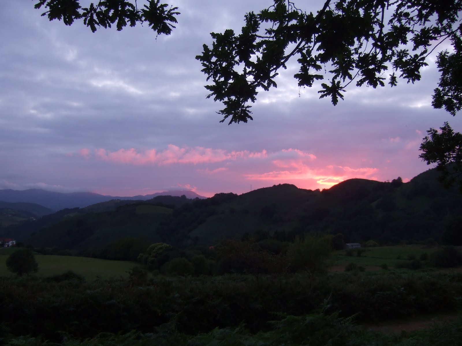
Sunday, July 4, 2010

Day 1 - Cabo Higuer to Caserio Gorra

42km, 1380 metres of ascent
I left a silent lifeless campground at Cabo Higuer around 7.30am, and made my first steps of the 500 mile journey. I re-traced my steps and yesterday's bus ride back to Irun before launching up into the hills on a concrete track. Easy hiking lead to the San Anton Reservoir where I stopped for lunch outside the bar (closed), then headed up and over the Collado de Telleria where I bumped into a Belgian hiker heading in the opposite direction who had virtually finished his trip.
I soon passed through the small town of Bera de Bidasoa where I stopped for refreshments, but then pressed on another 10 or 11km to find a suitable camping spot. I was feeling a bit weary, and concerned at my lack of food when I reached a road crossing at the Puerto de Lizarrieta when I was surprised and delighted to find a bar/restaurant that was open.  A further 2km along the trail I found an excellent camping spot with picnic benches and water point, and spent the evening chatting with a fellow GR11 hiker from Catalunya who gave a few hints and tips.
More photos from Day 1

Route map for Day 1
View GR11 - Day 1 in a larger map
Saturday, July 3, 2010

Getting there

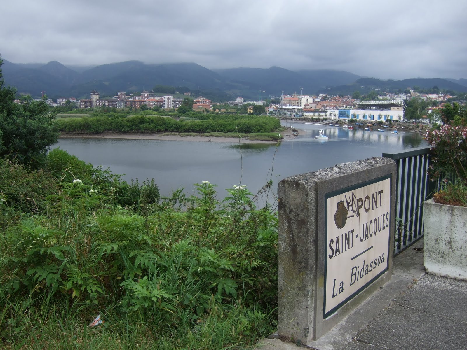
On Saturday 3rd July, I flew from Stansted to Biarritz, then jumped on a bus to St Jean de Luz where I caught another bus to Hendaye. I then wandered across the Pont Saint Jacques to enter Spain at Irun. From Hondarribia harbour it was a fairly short hike up the hill to reach the Faro de Cabo Higuer lighthouse, with handy campsite right next door. I didn't feel that hungry when I arrived, so just had an evening meal of bread, cheese and biscuits, which funnily enough turned out to be my staple diet for the entire trip. I spent the evening looking out at the Atlantic and thinking about the task ahead.

More photos of getting to the start of the GR11

Tuesday, June 29, 2010

The Route

Check out my GR11 route. 825km coast to coast!

Saturday, February 13, 2010

Packing

I've made a start with packing for the GR11, just to clarify a few ideas. My plan is to take the 35L KIMM sack, and aim to keep the total weight below 10kg, including food and water.

The rucksack so far weighs 8.5kg, and the main things missing are more food and a few more clothes, so hopefully it will be possible to achieve my 10kg target.

My planned schedule averages just over 20 miles for 25 days, so I need to go as lightweight as possible.

The shoes I've decided to wear are Saucony Xodus, rather than the Goretex Asics.

Items packed so far:
- 250ml gas cylinder & lighter (purchase on arrival)
- Small pan with lid & handle
- Toiletries (toothbrush, toothpaste, dental floss, razor, toenail clippers)
- Pen, paper & passport
- Plastic mug & plate
- Goretex Berghaus paclite, hat & gloves
- Clothes - 2 hellys, pertex jacket, socks, shorts, T-shirts, etc.